
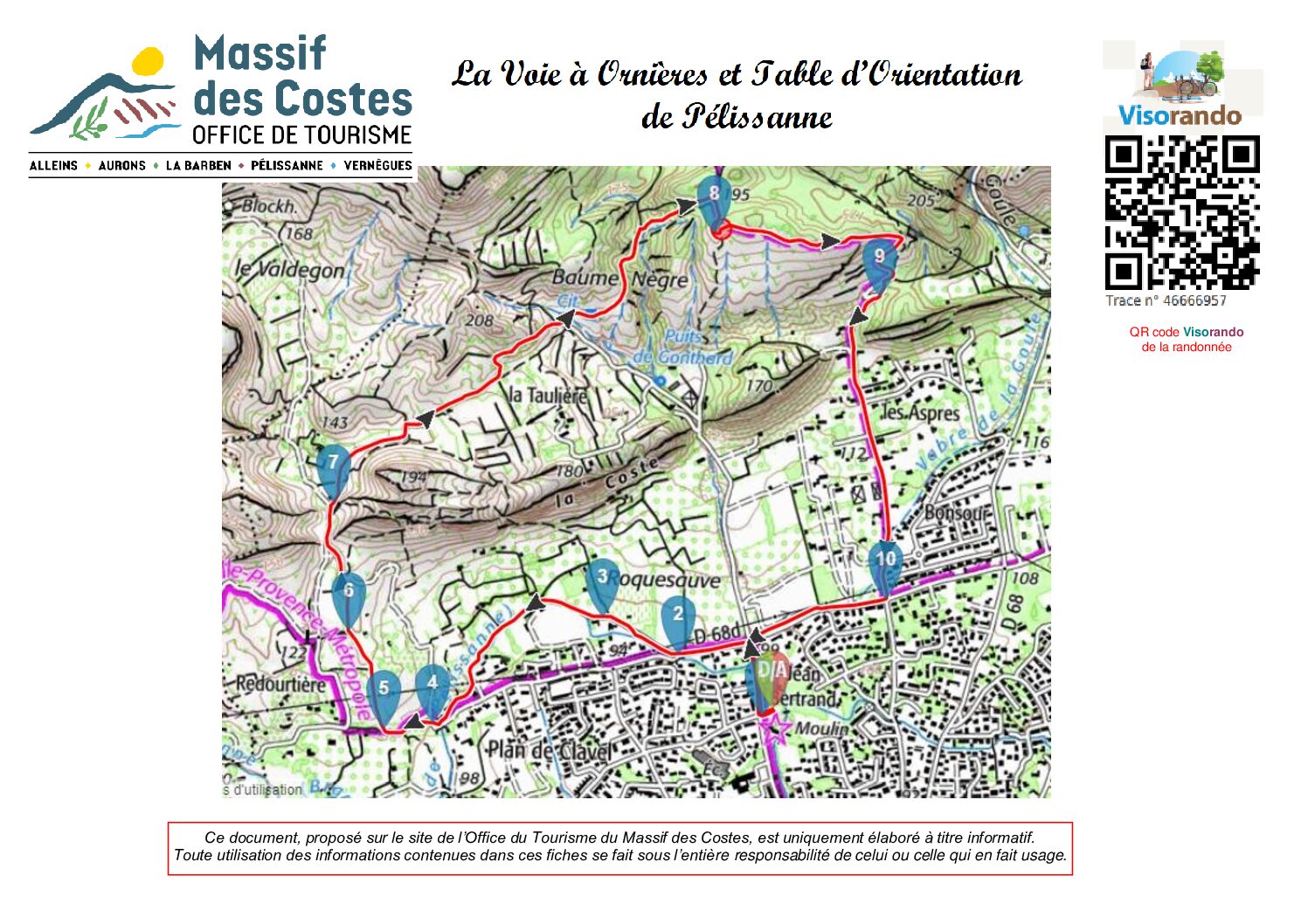
This pleasant itinerary begins alongside the 16th century Craponne Canal taking us to the very well-preserved Roman remains of a “voie à Ornières”.
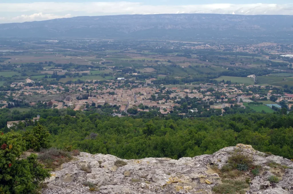
Then a wide track, lined with olive groves, leads us to an orientation table offering a view of Pelissanne, from the Mont Sainte Victoire to the Pond of Berre…
A gentle slope back to Pelissanne.
Description
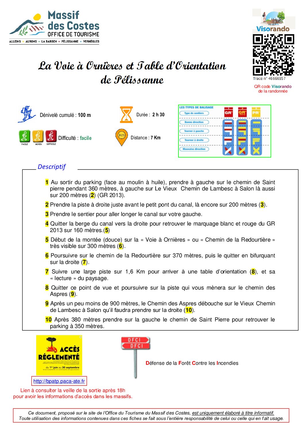
- At the end of the car park (opposite the oil mill), turn left onto the Chemin de Saint Pierre for 360 metres, then left again onto Le Vieux Chemin de Lambesc à Salon for 200 metres (2) (GR 2013).
- Take the track on the right just before the small canal bridge, again for 200 metres (3).
- Take the path to walk alongside the canal on your left.
- Leave the canal bank to the right and follow the white and red markings of the GR 2013 for 160m.
- Start of the (gentle) climb up the ‘Voie à Ornières’ or ‘Chemin de la Redourtière’, which is clearly visible for 300 metres (6).
- Continue to walk on this path for 370m, then leave it turning right.
- Follow a wide track for 1.6 km to reach an orientation table, and its ‘reading’ of the landscape.
- Leave this viewpoint and continue along the track that takes you to the Chemin des Aspres.
- After just under 900 metres, the Chemin des Aspres joins the Vieux Chemin from Lambesc to Salon, which you should take on the right.
- After 380m take the path of St Pierre on the left to find the car park 350m further on.
This document, published on the Massif des Costes Tourist Office website, is for information purposes only.
Any use of the information contained in these sheets is under the sole responsibility of the person making use of it.


